City on the Loop outlines an adaptive loop for future shoreline living
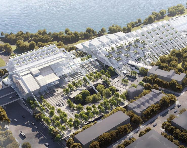
City on the Loop by Ruxuan Zheng proposes a speculative yet technically grounded architectural strategy for coastal living along Brooklyn’s Canarsie Pier, addressing climate risk through phased urban growth. Developed as a future-facing framework, the project reframes the relationship between architecture, infrastructure, and rising sea levels by positioning adaptation as an incremental and spatially legible process. The proposal focuses on Canarsie, where low elevation, existing highway infrastructure, and proximity to the water present both environmental vulnerability and urban opportunity.
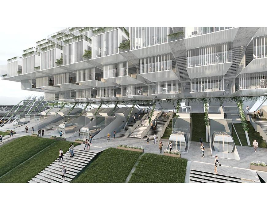
The strategy unfolds through three distinct but interconnected phases, structured around a continuous loop that operates as housing, mobility infrastructure, and public space. Phase One introduces a new elevated housing and transit spine above the Belt Parkway, transforming what has long functioned as a physical and social barrier into an active urban armature. By lifting development above projected flood zones, the intervention establishes a resilient base condition while reconnecting the neighborhood to the waterfront.
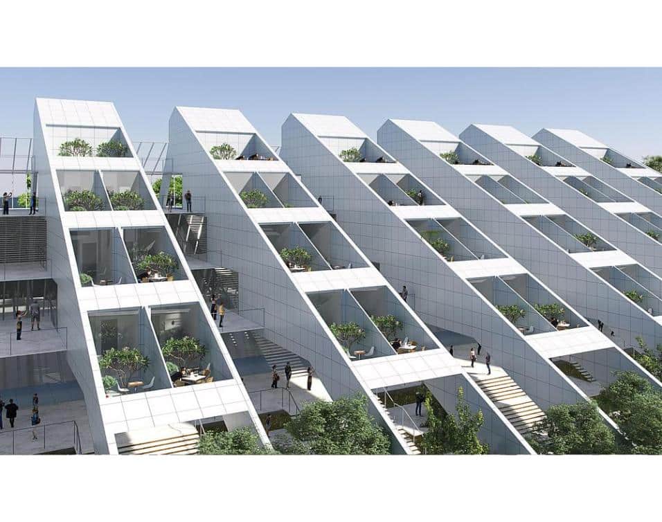
Phase Two extends this looped structure, adding further residential capacity alongside light rail and water-based transport systems. This phase reinforces the loop as a multimodal corridor, supporting everyday movement while reducing reliance on car-dominated infrastructure. Housing density increases incrementally, aligned with long-term flood projections, allowing the city to grow without abrupt or disruptive interventions.
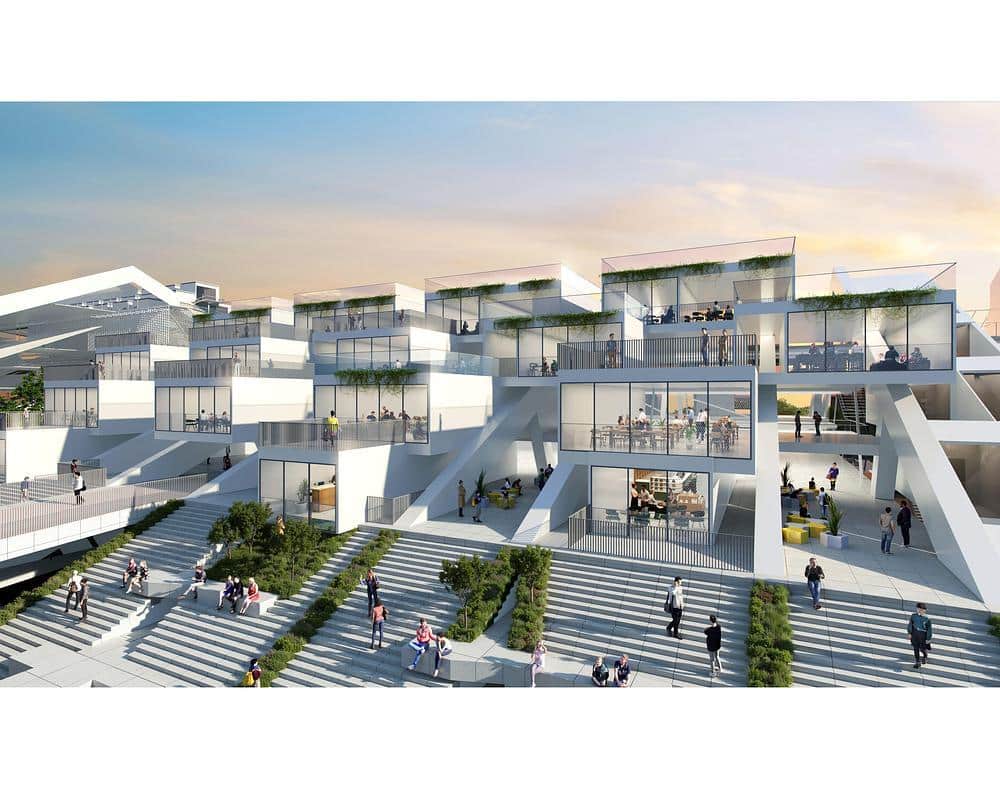
Phase Three concentrates on the waterfront edge, introducing a hotel and commercial district that activates the shoreline as a public destination. This final phase is designed to support economic activity while cultivating awareness of coastal change through accessible public platforms, terraces, and elevated walkways. The edge condition becomes civic rather than defensive, encouraging engagement with water as a visible and shared presence.
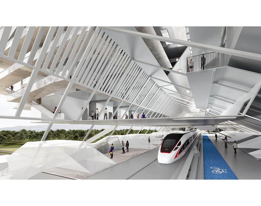
Each phase is calibrated to projected 100-year flood levels for 2025, 2050, 2100, and 2500, using data from the FEMA. As risk increases over time, the structure grows vertically, integrating green roofs, planted terraces, and layered circulation systems that accommodate both people and water. Landscape elements such as wetland buffers and elevated gardens support ecological performance while enhancing public space.
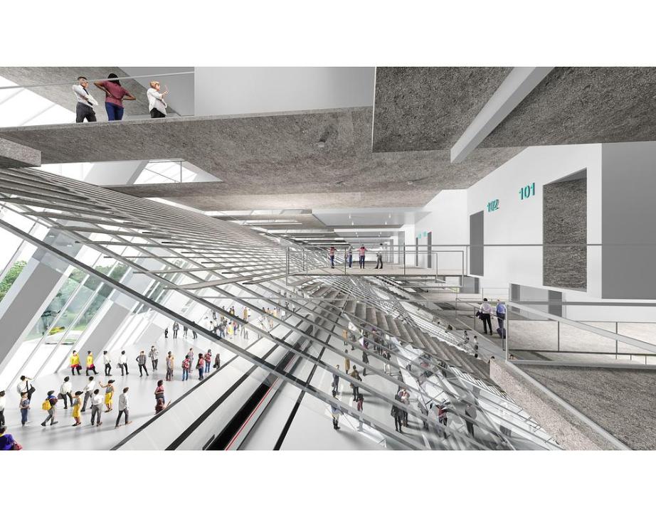
City on the Loop approaches sea-level rise as a spatial condition to live alongside, not a force to be excluded. Infrastructure functions as a cohabitation system, allowing natural processes and urban life to operate in parallel. As project author Ruxuan Zheng notes, the intent is to treat climate pressure as a catalyst for new forms of living, mobility, and collective space.
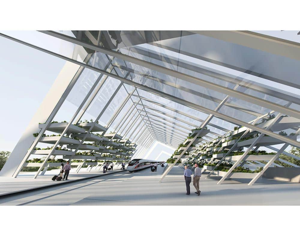
Though unbuilt, the proposal contributes to broader discussions on climate-resilient urbanism. It demonstrates how speculative architecture can address housing, transport, and environmental risk within a single, adaptable framework. Conceived as a replicable system, City on the Loop suggests how a new shoreline condition could extend along Canarsie and beyond, shaping a future edge for New York City’s vulnerable coastal zones.
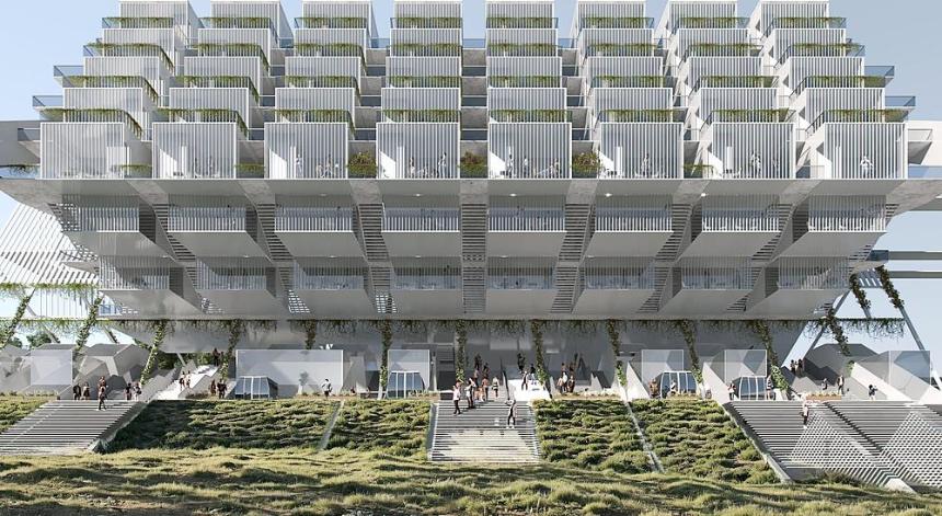
Photography by Ruxuan Zheng, Haoyuan Wang; with courtesy of v2com